TECH PARK
เทคปาร์ค เป็นบริษัทที่รับให้คำปรึกษาเกี่ยวกับเทคโนโลยีอากาศยานไร้คนขับ (โดรน) ซึ่งเราพร้อมจะแก้ใช้ปัญหาในทุกด้านโดยทีมนักบินและทีมวิศวะกรมืออาชีพ
ซึ่งนอกจากนี้ เรายังให้การอบรมหรือสอนบินโดรนในหลายหลักสูตรตามมาตรฐานสากลโดยทีมครูฝึกที่มีประสบการณ์การสอนในหลายรูปแบบ พร้อมด้วยเรายังให้บริการบินโดรนในเชิงพานิชย์ในหลายรูปแบบด้วยกันตามเงื่อนไขของการปฏิบัติการบินขั้นสูงที่ประกาศไว้ตามกฎหมายอย่างถูกต้องโดยทีมนักบินที่มีประสอบการณ์ และเรายังให้บริการเช่าหรือขายโดรนพร้อมอุปกรณ์ต่อพ่วงอื่นๆ อีกมากมายโดยเรามุ่งเน้นการบริการทั้งก่อนและหลังการเต็มรูปแบบ ตั้งแต่การไปสาธิตหรือฝึกสอนการใช้งาน การลงทะเบียน การประกันภัย การขอนุญาตต่าง ๆ ที่เกี่ยวกับอากาศยานไร้คนขับโดยทั้งหมด
“มีความปลอดภัย ได้มาตรฐาน และเป็นมืออาชีพ” คือ หัวใจการทำงานของ เทคปาร์ค
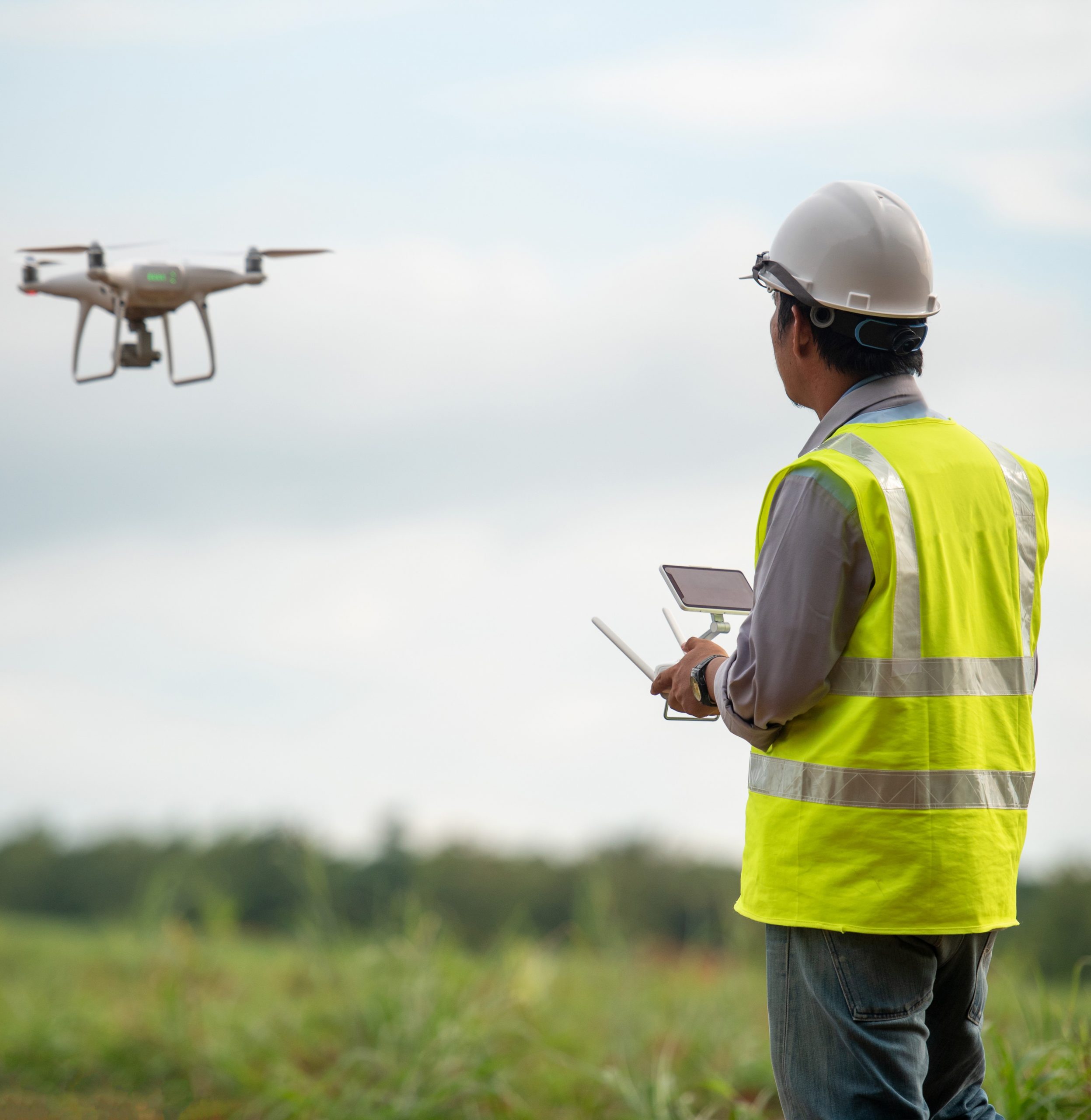
Tech Park is a company that provides advice on unmanned aerial vehicle (drone) technology. We are ready to solve problems in every aspect by a team of professional pilots and engineering teams.
which in addition We also provide training or teaching to fly drones in many courses according to international standards by a team of trainers with experience in teaching in many formats. We also provide commercial drone flying services in many formats according to the conditions of advanced flight operations that are legally announced by a team of experienced pilots. And we also provide rental or sale of drones and other peripheral equipment. Many more and we focus on full before and after service. From demonstrations or training in use, registration, insurance, various permits related to all unmanned aerial vehicles.
“Safe, up to standard, and professional” is the heart of Tech Park’s work.
Solution/Service
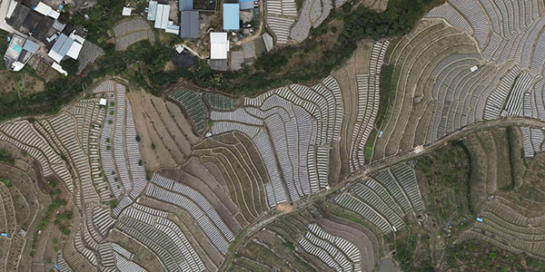
Aerial Mapping and Surveying
Aerial surveying with drones is a fast and cost effective way of gathering accurate survey grade data and measurements and can be used by a wide range of industries to improve accuracy and production.
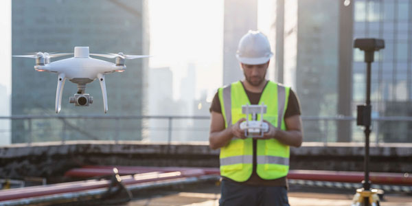
Architecture and Construction Sites
Drone surveying allows for a better visualization of the construction process, for example building plans can be overlaid on the orthomosaic images we generate from surveys and progress reports can be produced with accompanied photos.

Commercial Property and Appraisal
We are able to take dramatic and detailed photography and video that can be used for advertising or appraising property. Aerial videos and photographs capture the scale of the property, land, gardens and surrounding, not possible with traditional ground-based photography.
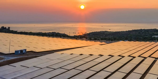
Roof Inspection
Drones can be used inspect roofs faster, safer, and more accurately than traditional methods. Aerial inspection of roofs negates the risk of working at a height, damaging a roof, or the necessity for hiring machinery like cherry pickers.
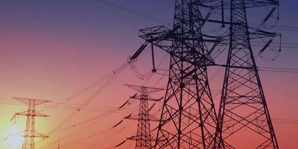
Building / High Value Asset Inspection
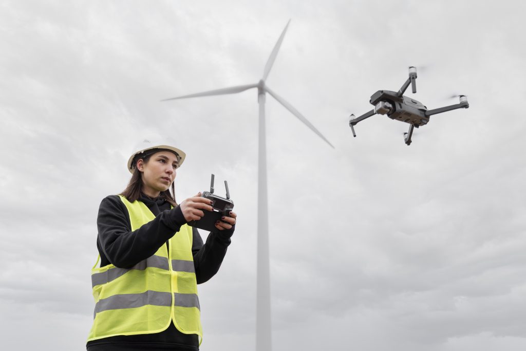
Drone surveying technology allows for the safe and accurate inspection of large and high value assets and infrastructure such as Buildings, Wind turbines, Phone masts, and power lines that would normally be hazardous to inspect by traditional means.
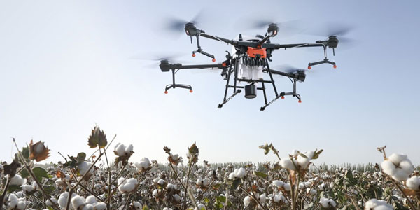
Agriculture
We are able to accurately map land and fields using drone photogrammettry.
We can then use the collected data to accurately measure Acreage, Elevation, Boundary length, and stockpile volumes.
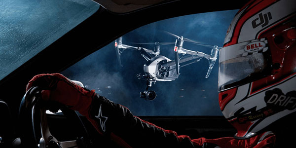
Filming and Photography
Aerial footage adds production value to any project and drones are a radical innovation in the field of Videography and Photography. We can offer smooth HD footage up to 4k resolution that can be captured in high frame rates for slow motion filming.
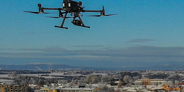
Drone License & Training
We offer Drone Licence Courses and flying lessons. At Drone Works Ireland our mission is to make knowledge as accessible as possible to as many customers as possible and encourage prolific drone operations while keeping the skies safe through the highest standards of training and certification but all of this without significant cost.


Product
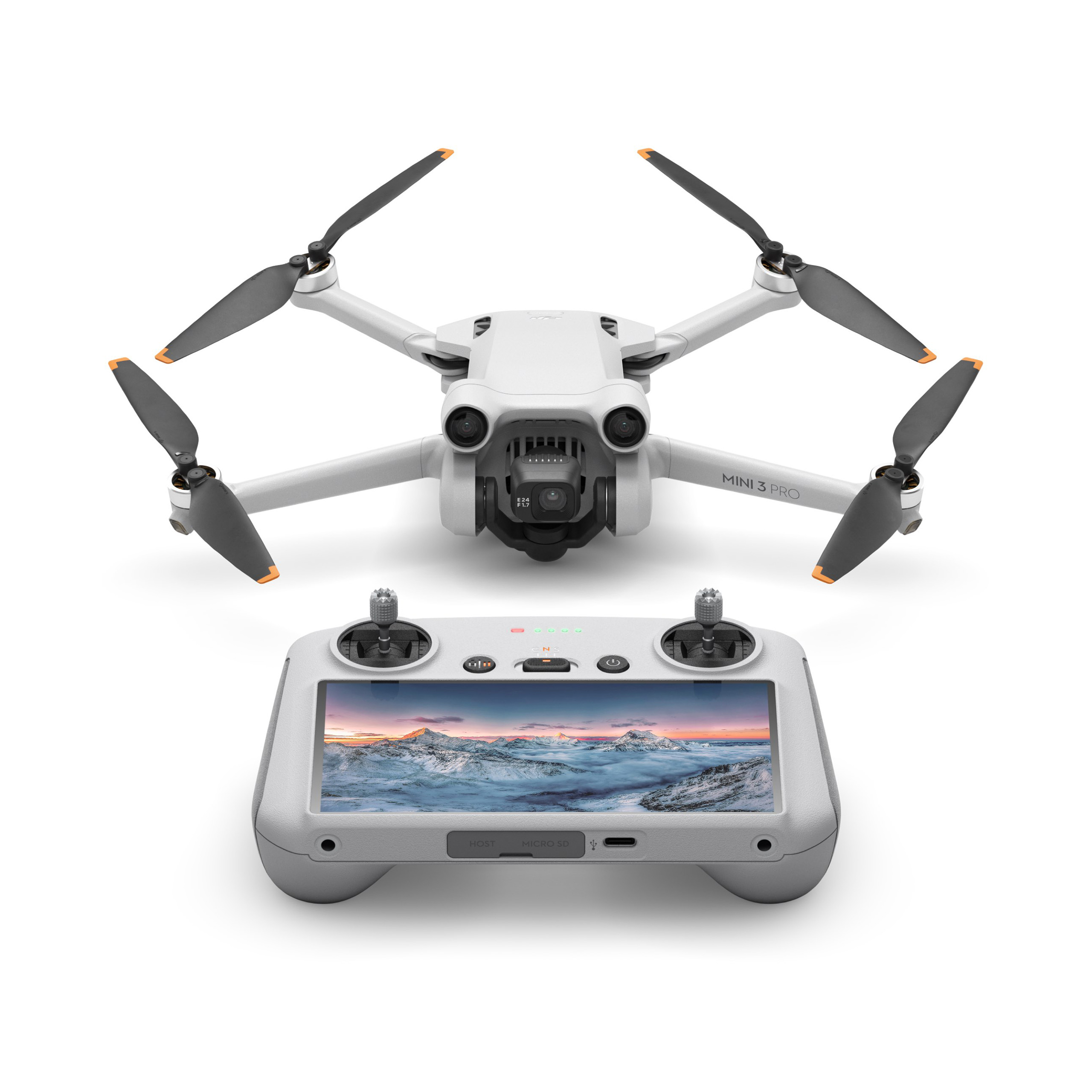
Drone
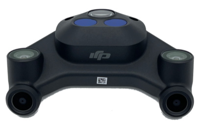
Sensors
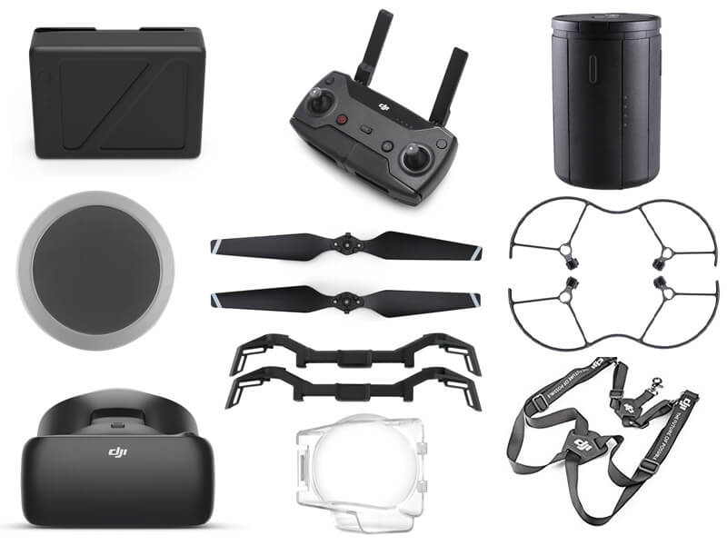
Accessories
Program
