Solution/Service
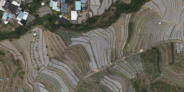
Aerial Mapping and Surveying
Aerial surveying with drones is a fast and cost effective way of gathering accurate survey grade data and measurements and can be used by a wide range of industries to improve accuracy and production.
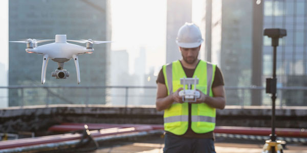
Architecture and Construction Sites
Drone surveying allows for a better visualization of the construction process, for example building plans can be overlaid on the orthomosaic images we generate from surveys and progress reports can be produced with accompanied photos.

Commercial Property and Appraisal
We are able to take dramatic and detailed photography and video that can be used for advertising or appraising property. Aerial videos and photographs capture the scale of the property, land, gardens and surrounding, not possible with traditional ground-based photography.
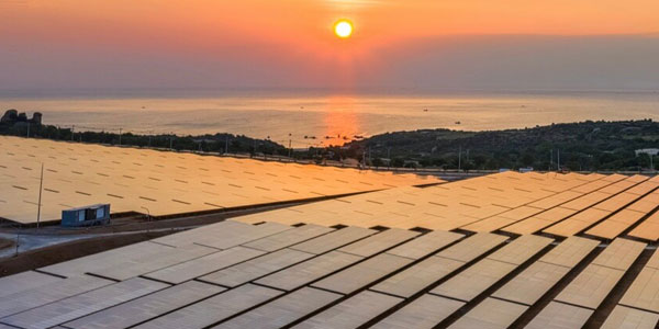
Roof Inspection
Drones can be used inspect roofs faster, safer, and more accurately than traditional methods. Aerial inspection of roofs negates the risk of working at a height, damaging a roof, or the necessity for hiring machinery like cherry pickers.
Building / High Value Asset Inspection
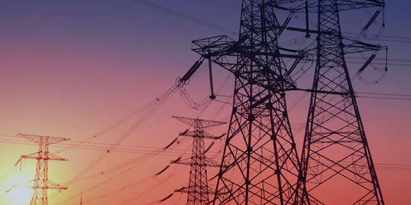
Drone surveying technology allows for the safe and accurate inspection of large and high value assets and infrastructure such as Buildings, Wind turbines, Phone masts, and power lines that would normally be hazardous to inspect by traditional means.
Agriculture
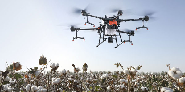
We are able to accurately map land and fields using drone photogrammettry.
We can then use the collected data to accurately measure Acreage, Elevation, Boundary length, and stockpile volumes.

Filming and Photography
Aerial footage adds production value to any project and drones are a radical innovation in the field of Videography and Photography. We can offer smooth HD footage up to 4k resolution that can be captured in high frame rates for slow motion filming.
Drone License & Training
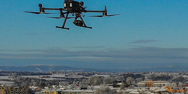
We offer Drone Licence Courses and flying lessons. At Drone Works Ireland our mission is to make knowledge as accessible as possible to as many customers as possible and encourage prolific drone operations while keeping the skies safe through the highest standards of training and certification but all of this without significant cost.
Specific Inspection
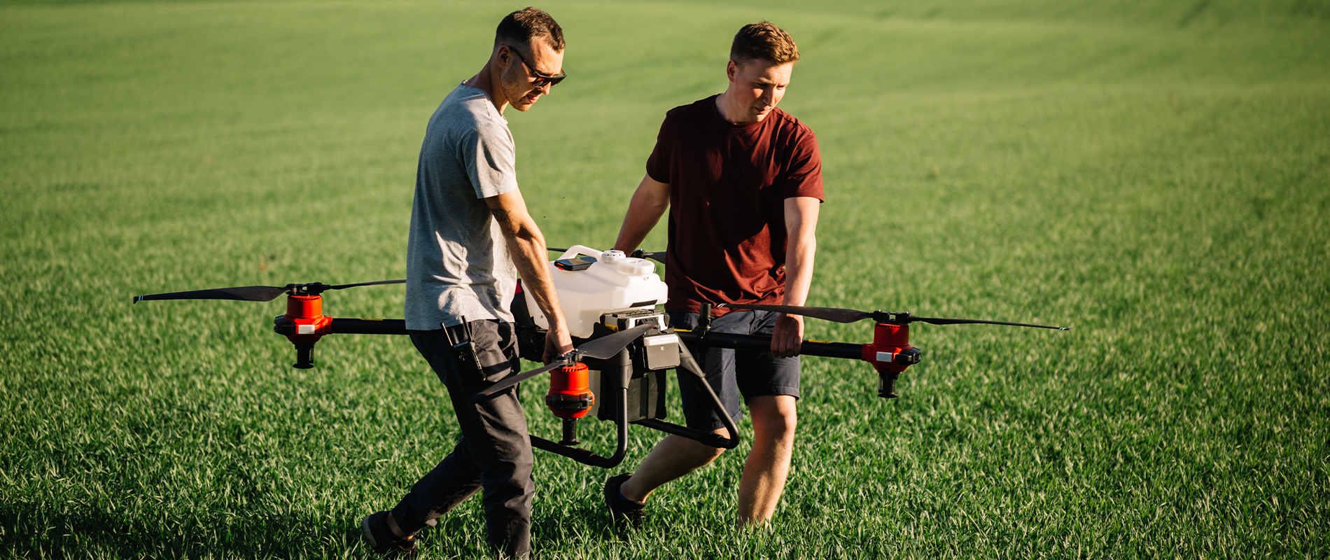
Tech Park ให้บริการการบินโดรนเพื่อตรวจสอบสิ่งผิดปกติ ดังนี้
– การตรวจสอบการชำรุดหรือแตกร้าวของสิ่งปลูกสร้างอาทิ เช่น เสาไฟ สะพาน อาคาร หลังคา ถนน เป็นต้น
– การตรวจสอบความผิดปกติของสิ่งแวดล้อมทางธรรมชาติอาทิ เช่น ความเป็นพิษของอากาศ ความสมบูรณ์ของต้นไม้ ตรวจค่าฝุ่นละออง คุณภาพของดิน เป็นต้น
– การตรวจสอบอุปกรณ์กำเนิดพลังงานต่างๆ อาทิ เช่น เขื่อน กังหันลม แผ่งโซล่าเซลล์ ท่อส่งก๊าซ เป็นต้น
Construction and Infrastructure / Monitor and Survey
Tech Park ให้บริการการบินโดรนเพื่อถ่ายภาพความละเอียดสูงในพื้นที่ก่อสร้างซึ่งสามารถที่จะนำมาใช้ประโยชน์ ดังนี้
– เพื่อการออกแบบ
Survey Mapping
Tech Park ให้บริการการบินโดรนเพื่อการสำรวจและทำแผนที่ ดังนี้
– สำรวจการรุกล้ำหรืออุปสรรคตามเส้นทางคมนาคมหรือจุดที่น่าสนใจต่างๆ เช่น เส้นทางรถไฟ ตึกสูงโดยรอบสนามบิน เป็นต้น
– สำรวจพื้นที่หรือทำแผนที่ภูมิศาสตร์อาทิ เช่น สำรวจความลาดชันของพื้นที่ ทำแผนที่ภูมิสาตร์ขนาดใหญ่ในลักษณะ 2และ3มิติ
– สำรวจตรวจสอบปริมาณอาทิ เช่น การตรวจสอบปริมาณกองหิน


